Picture this: A city where traffic flows smoothly 🚗, resources are managed efficiently ⚡, and the quality of life is significantly improved for its inhabitants 🌇.
Sounds like a utopian dream, right?
Thanks to computer vision, this dream is quickly becoming a reality in smart cities worldwide. In this article, we’ll explore the role of computer vision in smart cities and its impact on urban planning.
We’ll dive into real-life examples and discuss how it’s all interconnected with the Internet of Things (IoT). Ready to take a peek into the future? Let’s get started! 🚀
Transforming Urban Planning with Computer Vision
Computer vision, a field of artificial intelligence (AI), enables machines to interpret and understand visual data from the world 🌍.
This technology is revolutionizing urban planning, as it helps planners and city officials make data-driven decisions to create smarter and more sustainable urban environments.
💡 Example: In Barcelona, computer vision is being used to analyze satellite imagery and identify potential green spaces for urban agriculture 🌳.
This helps the city council in making informed decisions on land use and promoting local food production 🥦.
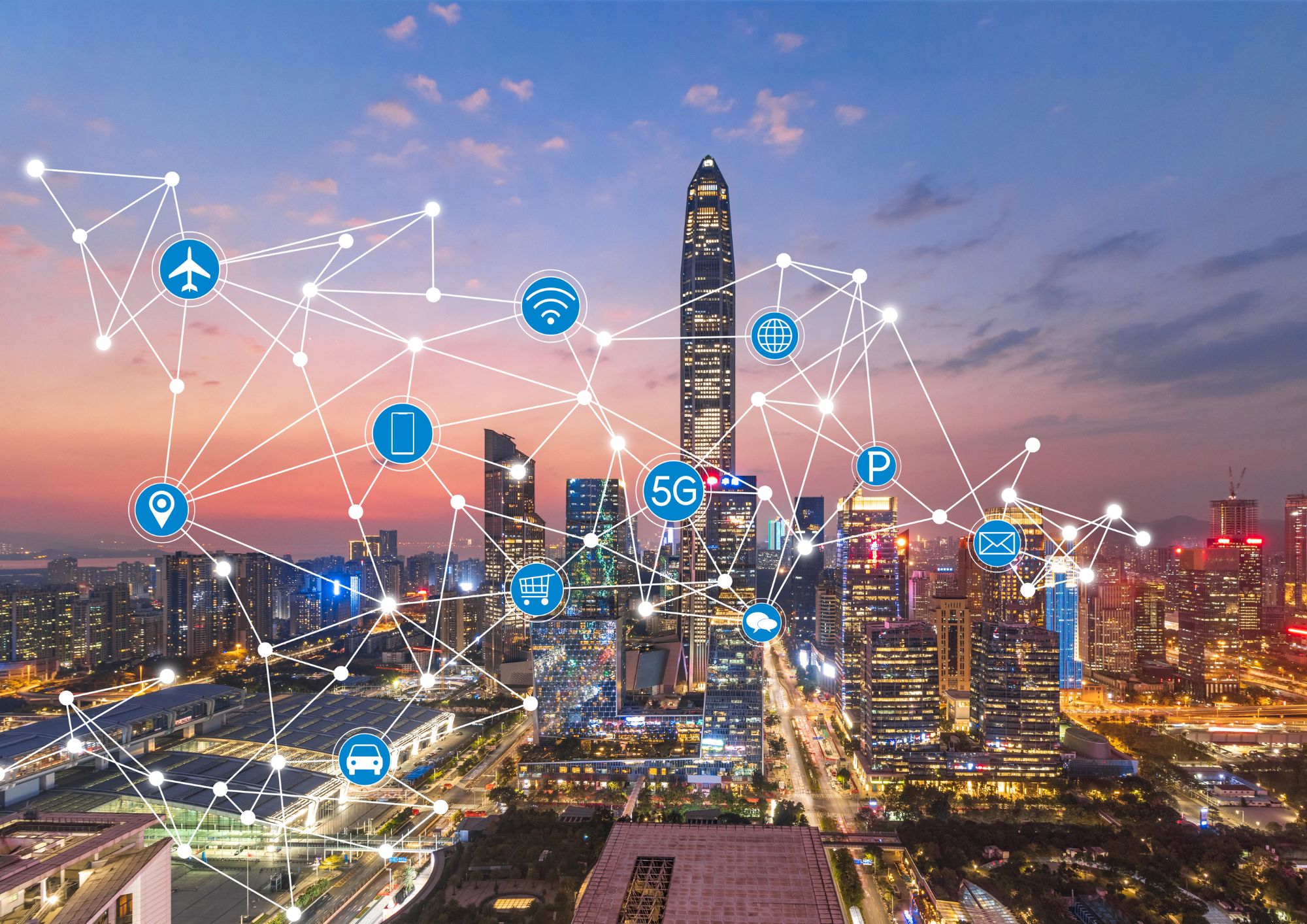
IoT in Smart City Development
The IoT plays a crucial role in smart city development by enabling devices and systems to communicate and share data seamlessly.
This interconnected network of devices, sensors, and cameras generates valuable insights that can be used to enhance city infrastructure and optimize urban planning.
🔌 Example: In Singapore, IoT-enabled sensors are used to monitor air quality and temperature, enabling city officials to optimize energy consumption and reduce greenhouse gas emissions 🏭.
Enhancing City Infrastructure through Computer Vision
Computer vision, combined with IoT, is significantly improving city infrastructure.
From intelligent traffic management to real-time monitoring of public spaces, this technology is making cities more efficient and resilient.
🚦 Example: In Los Angeles, computer vision is used to analyze traffic patterns, enabling the city to adjust traffic signals in real-time and reduce congestion. This has led to a 12% reduction in travel time for commuters 🚙.
Intelligent Traffic Management
Intelligent traffic management systems, powered by computer vision, are becoming increasingly common in smart cities.
These systems can analyze traffic patterns, optimize signal timings, and even detect potential accidents before they occur.
🚧 Example: In Shanghai, computer vision-based traffic management systems have been implemented to detect and predict accidents, reducing response times for emergency services and improving overall road safety 🚑.
Improving Public Safety with Computer Vision
Computer vision is making our cities safer by detecting potential hazards and enabling quicker response times for emergency services.
From real-time surveillance to predictive analytics, this technology is revolutionizing public safety.
👮♀️ Example: In Chicago, the city has deployed computer vision-based surveillance systems to identify and track criminal activities in real-time, enabling law enforcement to respond more effectively and reduce crime rates 🚔.
FAQ
What is computer vision?
Computer vision is a field of AI that enables machines to interpret and understand visual data from the world. It involves teaching computers to process, analyze, and make decisions based on images or videos.
How does computer vision contribute to smart cities and urban planning?
Computer vision aids smart city development by analyzing visual data to optimize infrastructure, manage resources, improve traffic flow, enhance public safety, and create sustainable urban environments.
How is IoT connected to computer vision in smart cities?
IoT creates an interconnected network of devices, sensors, and cameras that communicate and share data, generating valuable insights that can be combined with computer vision technologies to enhance city infrastructure and optimize urban planning.
Can computer vision help reduce traffic congestion in cities?
Yes, computer vision-based intelligent traffic management systems can analyze traffic patterns, optimize signal timings, and reduce congestion by adjusting traffic signals in real-time.
How does computer vision improve public safety in urban areas?
Computer vision can be used to monitor public spaces in real-time, detect potential hazards, and enable quicker response times for emergency services. It can also help predict and prevent accidents, track criminal activities, and improve overall safety.
In Conclusion
Computer vision is undoubtedly having a transformative impact on smart cities and urban planning.
From enhancing city infrastructure to improving public safety, this technology is shaping the cities of the future, making them more efficient, sustainable, and enjoyable for their inhabitants.
With the seamless integration of computer vision and IoT, we can expect even more groundbreaking innovations in the coming years, further revolutionizing the way we live and interact with our urban environments 🌆🌟.
Thank you for reading our blog, we hope you found the information provided helpful and informative. We invite you to follow and share this blog with your colleagues and friends if you found it useful.
Share your thoughts and ideas in the comments below. To get in touch with us, please send an email to dataspaceconsulting@gmail.com or contactus@dataspacein.com.
You can also visit our website – DataspaceAI